100 Hillwalks around Glasgow The Corbetts - SMC

 The West Highland Way


Beinn Bhreac
The High Mountains of Britain & Ireland West Highland Way: Trailblazer

Photographs of an ascent of Beinn Bhreac

above Cashel Forest,

the West Highland Way and Loch Lomond


Cashel Forest from the West Highland Way alongside Loch Lomond

Cashel Forest

from the West Highland Way

 alongside Loch Lomond


Cashel Forest on ascent to Beinn Bhreac

Cashel Forest

 on ascent to Beinn Bhreac 


Luss Hills across Loch Lomond from Cashel Forest

Luss Hills across Loch Lomond

from Cashel Forest


Islands in Loch Lomond from Cashel Forest

Islands in Loch Lomond

from Cashel Forest


Ben Vorlich from Cashel Forest

Ben Vorlich

from Cashel Forest


Beinn Bhreac from Cashel Forest

 Beinn Bhreac

from Cashel Forest


Approach to Beinn Bhreac

Approach to Beinn Bhreac


Loch Lomond from trig point on Beinn Bhreac

Loch Lomond

 from trig point

 on Beinn Bhreac


Beinn Bhreac from Beinn Uird

Beinn Bhreac from Beinn Uird


On descent from Beinn Bhreac

On descent from Beinn Bhreac


Conic Hill from Cashel Forest

Conic Hill

from Cashel Forest


Islands in Loch Lomond from Cashel Forest

Islands in Loch Lomond

from Cashel Forest


Cashel Farm House

Cashel Farm House 


Route Description and Map of Cashel Forest and Beinn Bhreac

Route Map

of Cashel Forest and Beinn Bhreac


Map of Cashel Forest and Beinn Bhreac

Map of Cashel Forest and Beinn Bhreac

( NOTE: Click here for large format copy )


Routes Map of Cashel Forest

Routes Map of Cashel Forest


Map of West Highland Way and Beinn Bhreac

Map of West Highland Way

and Beinn Bhreac 


CASHEL AND BEINN BHREAC - ROUTE DESCRIPTION:-

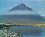
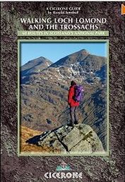
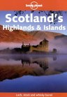
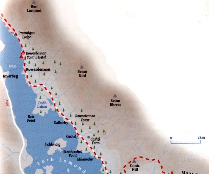
Location: Loch Lomond
Map: OS Landranger 56 ( GR 400 940 )
Distance: 15 miles, 12km
Time: 3 hrs 45 minutes
Terrain: Paths and open hillside


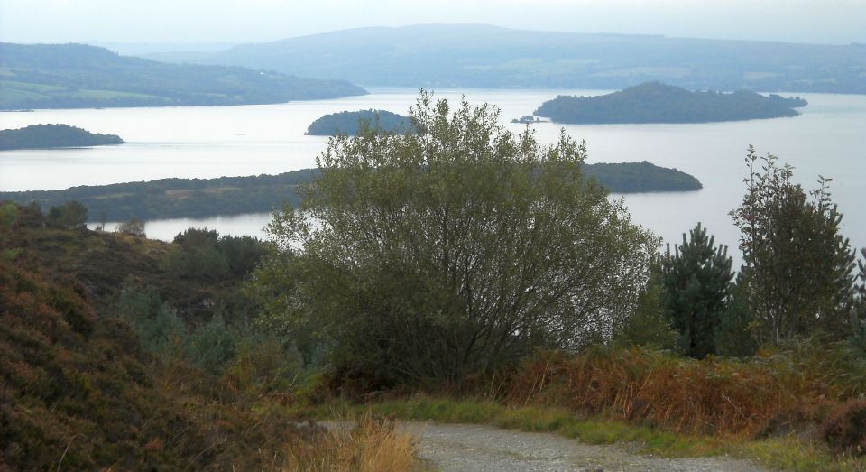
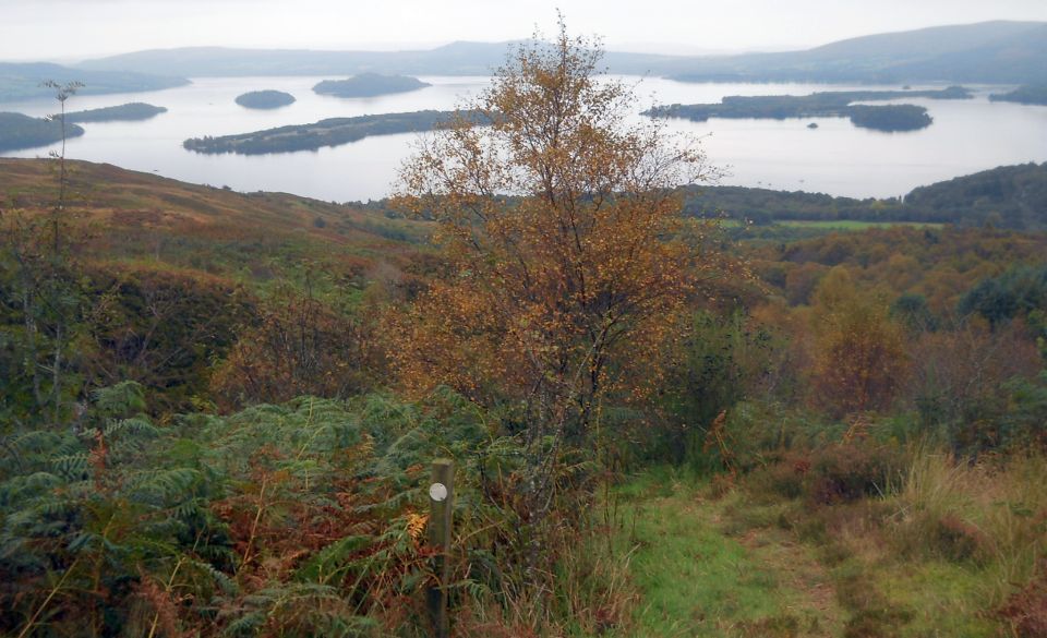
Cashel on the east side of Loch Lomond is a revelation offering enjoyable and inspirational walking with open views across the loch and
an optional extension to the top of Beinn Bhreac.
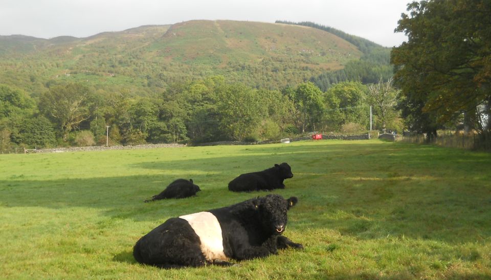
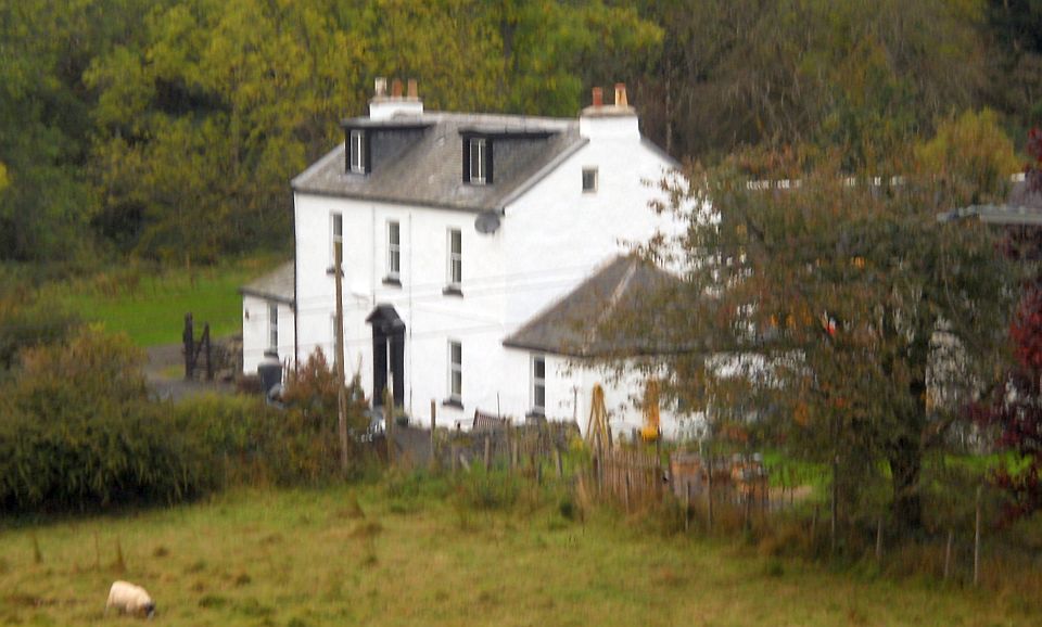
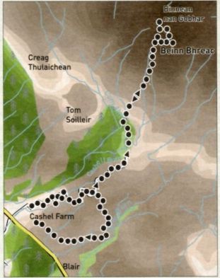
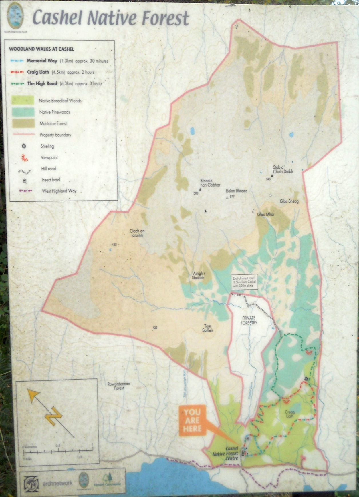
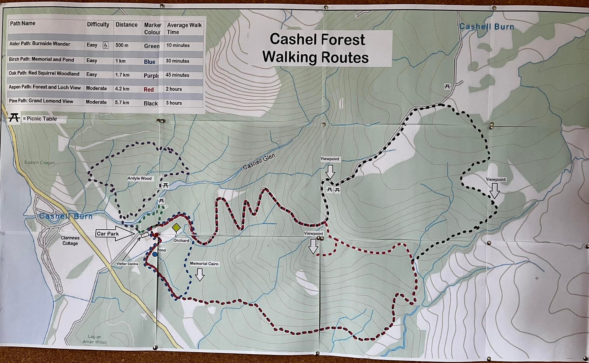
Much of the high
ground on both shores of Loch Lomond is blanketed by regimented rows of evergreen commercial conifers, and at first glance this
hillside appears similarly uninviting.
However, closer inspection reveals it is actually a haven for nativebroadleaf species.
Cashel is well signposted from the Rowardennan road. From the car park, walk round to the back of the farm buildings and follow the green
waymarks.
Fairly soon after, a blue-
waymarked route goes off to the right, offering the shortest walk.
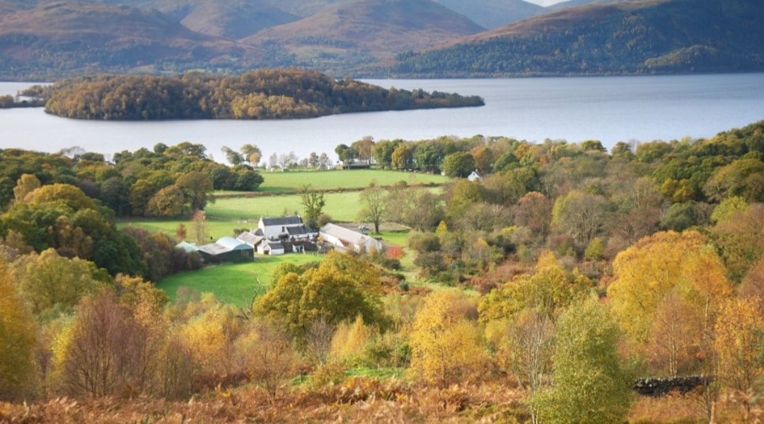
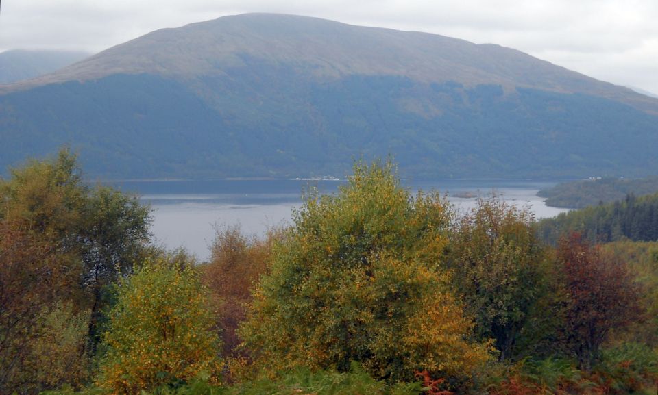
Remain on the track
as it zigzags up the hilllside offering fine views west across the loch to the Luss hills.
Among the pockets of mature native woodland lie extensive areas of new planting, and these increase as height is gained.
A red-waymarked route offers Cashels medium-length walk.
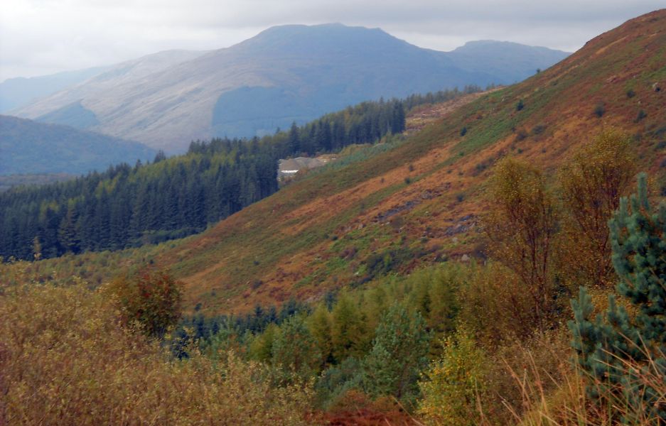
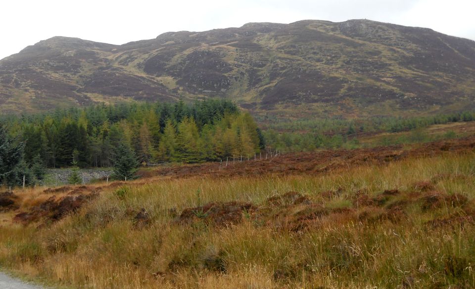
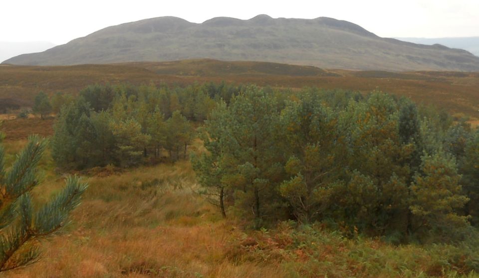
Remain on
the green track until this also ofiers a turn to the right and back to the farm.
Hill walkers wishing to climb to Beinn Bhreac should continue on the track: however, the route is pathless
and boggy in places and requires adequate footwear.
Continue through a gate into a conifer plantation, turning right when the track divides.
When you
reach the plantation edge and old gate, follow an intermittent all-terrain-vehicle track until it is
possible to leave on the right to gain a green tongue of grass.
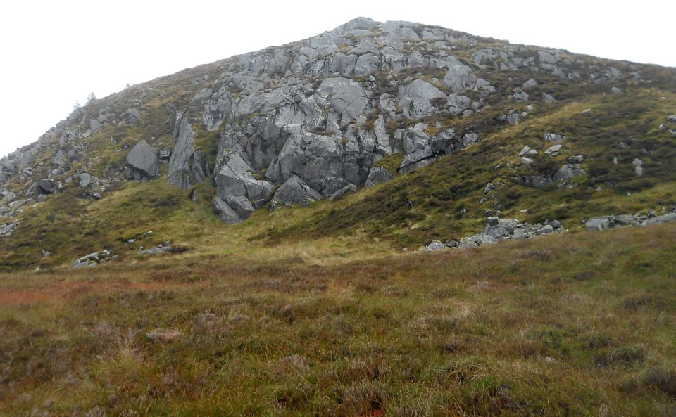
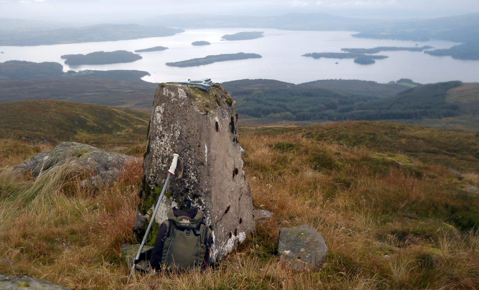
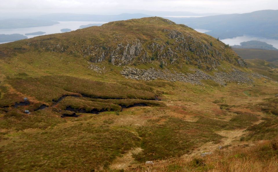
Follow this
through the heather to a col and ascend rightwards to the trig point.
The highest point hereabouts [ 536m | is actually the further, rockier summit named on OS maps as Binnean nan Gubhar gained by
descending back to the col and crossing a stile.
Retrace your route to the green-waymarked path and follow it down with good views over to Conic Hill
and Loch Lomond, to a junction with the red waymarked path at a burn and hut. Turn left and follow the path back to the farm.


Beinn Bhreac Gallery Photo Gallery :: Beinn Uird Gallery Photo 
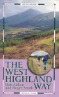
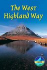
Gallery :: West Highland Way Photo Gallery

 << Back : Southern Highlands Index : Next >>


Scotland Index :: Scotland Walks

Glencoe | Ben Nevis | Knoydart | Isle of Skye | Isle of Arran

The Eastern Highlands | The Central Highlands | The Southern Highlands | The NW Highlands


Adventure Travel : Worldwide Mountaineering : Site Index

fb icon  google+ icon  Linkedin icon  twitter


Guide Books & Maps - Scotland:-


West Highland Way: Footprint MapWest Highland Way - Map West Highland Way - Map Western Scotland & the Western Isles OS Road Map Northern Scotland OS Road MapSouthern Scotland OS Road MapGlasgow Popular Hills - Map

Loch Lomond North - Tyndrum, Crianlarich, Arrochar - OS Explorer Map Loch Lomond and Inverary OS Landranger Map  Loch Lomond South OS Explorer Map  Loch Lomond North OS Explorer Map


Loch Lomond & Trossachs - 25 Walks  Loch Lomond & Trossachs NP - Vol 1 - West  Loch Lomond & Trossachs NP - Vol 2 - East  Scottish Hill Tracks  Central & Southern Scotland - Backpackers Britain  Walking Loch Lomond and the Trossachs

The High Mountains of Britain & Ireland  Munros Tables SMC  The Munros - Scotland's Highest Mountains  Scotland - Lonely Planet  NW Highlands - SMC Guide  Exploring the Far NW of Scotland  Guide to Walks in NW Highlands

Walking in Scotland - Lonely Planet Mountain: Exploring Britain's High Places  National 3 Peaks Walk Scottish Highlands Hillwalking Guide The Scottish Islands Bouldering in Scotland

Glasgow Visitor Guide - Colin Baxter Itchy Insider's Guide to Glasgow Glasgow Footprint Pocket Guide Glasgow Insight Pocket Guide Glasgow Guide Pub Companion Glasgow Scotland's Highlands & Islands - Rough Guide Scotland - Rough Guide

Glasgow Insight Pocket GuideCollins Street Map of GlasgowGlasgow: Then & NowThey belonged to Glasgow Phillips Street Atlas of Glasgow & West Central Scotland Glasgow: The Photographic Atlas100 Hillwalks around Glasgow 50 Walks in Glasgow & SW Scotland

Visit Scotland - Touring Guide Scotland: Where to Stay - Hotels & Guest Houses Scotland: Where to Stay - Bed & Breakfast Rough Guide ScotlandScottish Highlands & Islands - Rough Guide Scotland - Lonely PlanetScotland's Highlands & Islands - Lonley Planet Great Glasgow StoriesGlasgow & Surroundings - Insight Guide

West Highland Way: Official GuideWest Highland Way: Rucksac ReadersWest Highland Way: TrailblazerThe West Highland WayWest Highland Way: Footprint MapWest Highland Way - Map West Highland Way - Map West Highland Way Wet Highland Way - Official Guide

Munro Almanac The High Mountains of Britain and Ireland The Munros: Scottish Mountaineering Club The Isle of Skye The Isle of Arran Wilderness Walks Ski Mountaineering in Scotland

More Wilderness Walks 50 Best Routes on Skye and Raasay Skye - W.A.PoucherMagic of the Munros Mountaineering in Scotland and Undiscovered Scotland by W.H.MurrayA Long Walk on the Isle of Skye

Classic Climbs - Central & Southern Highlands The Isle of Arran Lonely Planet, Walking in ScotlandPathfinder Guide: Skye and NW Highlands WalksPathfinder Guide: Fort William and Glen Coe Walks Rambler's Guide: Ben Nevis and Glen Coe50 Best Routes on Skye and Raasay - Chris Townsend


Google Analytics


Google Analytics

extremetracking
 eXTReMe Tracker


extremetracking
Sitelock caingram.com
SiteLock
Sitelock
Sitelock caingram.info
SiteLock
Sitelock